Our mission is to promote responsible mountain biking and to work toward the goals of common land access and natural resource protection through interaction with policy makers, the cycling industry, race promoters, mountain bikers and other trail users.
Our association represents all levels of riders, our common passion for trail riding and stewardship brings us together as a collective voice.


The SCGMBA was approached by the Sundance White Ranch Park to bring hiking and biking trails into land nestled below the Sundance Mtn and this land is set aside in perpetuity for the publics use. #SWRP
Association President Whitmore took lead in laying out the trail , developing a sustainable singletrack trail with a fun flow and old school single track feel to offer the hiker and bikers an opportunity to view the splendor of the mountain and the surrounding countryside. He worked with club members and other folks with varying trail knowledge.
Work began with many hours of tuning the trail , water dispersion, views, landscape features, and utilizing as many natural features that could be utilized while building a trail on a ancient landslide flow. The flow is mainly composed of Rhyolitic rock from the Eocene aged intrusion/uplift that produced Sundance Mtn eons ago. We used IMBA sustainable trail building methods to assure the longevity of its creation.
The hopes of SCGMBA and SWRP then was to utilize the property in it's form, as open space, with only singletrack trail development to enhance these experiences.
The project began as one non-profit (SWRP) sought another (SCGMBA) to assist in their goals, in turn SCGMBA asked for the help of another non-profit (BLACK HILLS TRAILS) into borrowing, renting and/or lending a hand in equipment to build the trail where hand tools would not be as efficient.
This lead to Black Hills trail.org coming over after our volunteers assisted in working on the system trails in Sturgis SD. Approximately 36 hrs after arrival on May 2021 the first 2.2 mile trail was built with many volunteers, two Grillos and Mini Ex doing the earthwork. Volunteers had many diverse backgrounds to assist.
The work of the three non profits build a trail with one goal to give the public a place to hike and ride. This is so much the “advocacy” that we the SCGMBA strive for in the SCGMBA Mission Statement.
SWRP has since 2022 modified the land to their use.
Trails made:
Outlaw 2.2 mile
Sun Dance .3 mile
Etta 1.5 mile
The SCGMBA was approached by the Sundance White Ranch Park to bring hiking and biking trails into land nestled below the Sundance Mtn and this land is set aside in perpetuity for the publics use. #SWRP
The hopes of SCGMBA and SWRP is to utilize the property in it's form, as open space, with only trail development to enhance those experiences.
The SCGMBA worked with City of Sundance to increase the trail foot print by utilizing City of Sundance property i.e Etta trail.
“Etta trail” is placed where property has been used for pasturing a few horses every year.
That 1.5 mile expansion connects to SWRP.
We are asking you -the users, public, mtn bikers and hikers, outdoor nuts, dog walkers, etc.. to help continue the path forward.
USE IT -USE ETTA TRAIL
The trail is named Etta following the theme of those outlaws-Sundance and Butch and their ever present lady "Etta Place"- Which may not be her true name. The SWRP has a Butch and Sundance trail and a Outlaw trail and it is fitting to have a trail named after a mystery woman of beauty and with likely a personality of a prickly cactus to deal with both Butch and Sundance.
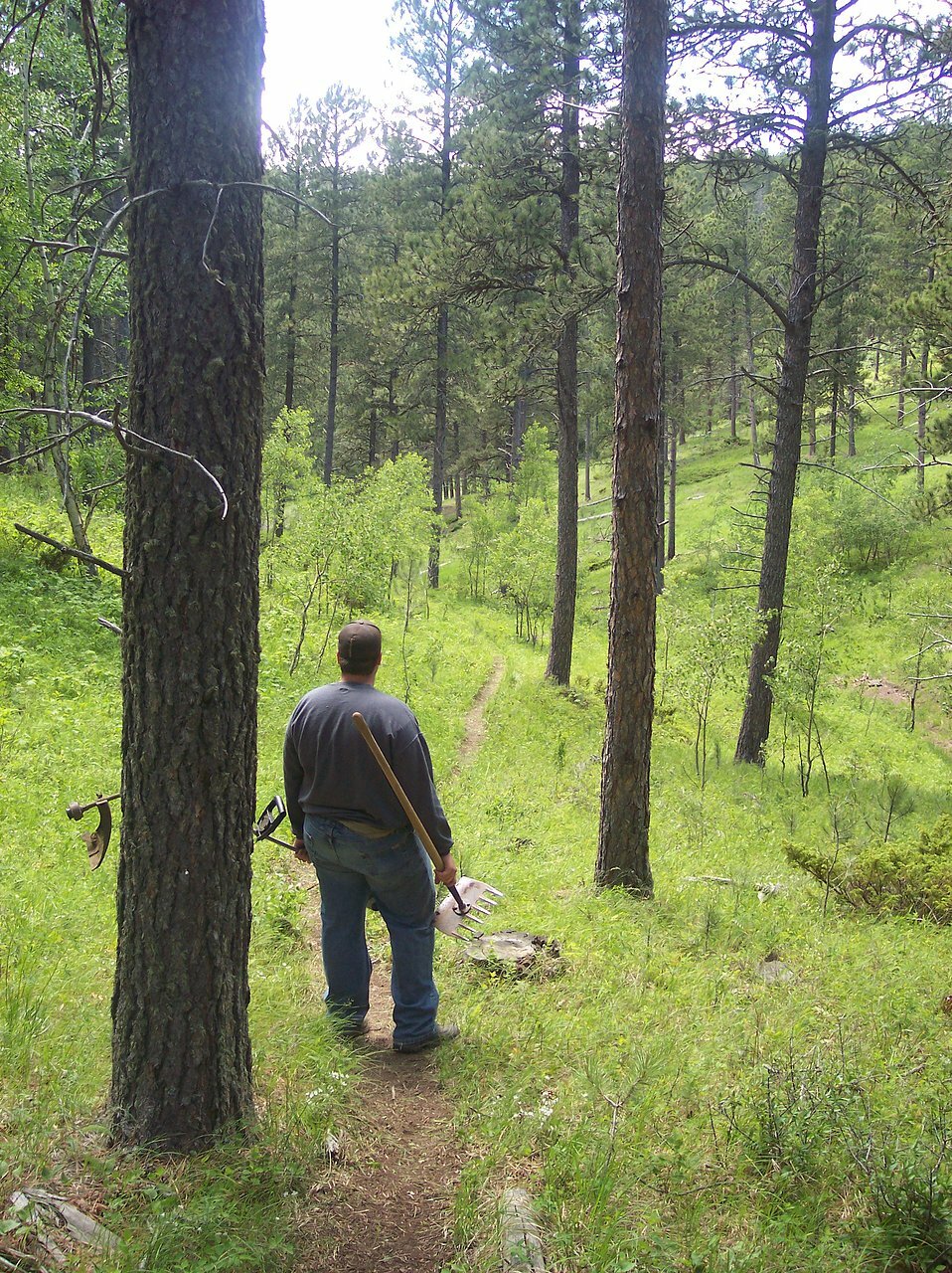
Always seeking volunteers to assist in keeping the growth down. Hike it -bike it -weedeat it..
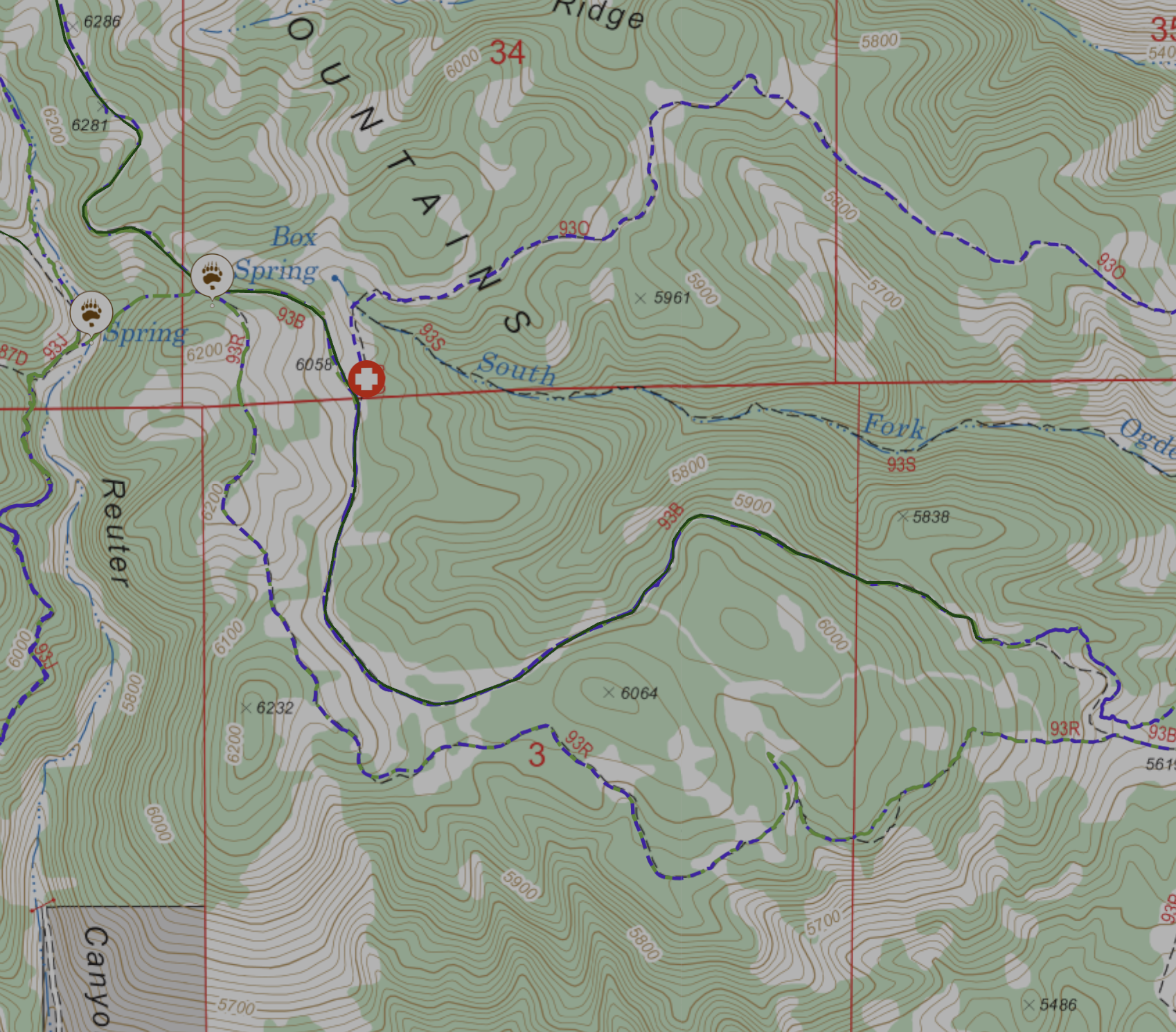
As riders, we use a mapping system with phone usage—MTB Project. We generally have cell coverage except on South Fork Trail, Houston Creek Trail, and parts of Ogden Creek Trail. That coverage can be spotty to non-existent. It is Wyoming, and we are close to wilderness in those locations.
Printable Map-color is elevation related..
We traverse private property and Forest Service land on many rides, including one trail that originates from private property. Therefore, we kindly ask that there be no skidding, trail or stunt building, or switchback cutting. We are visitors and guests, and we are fortunate to have access to these trails. Please help us maintain this privilege.
Most of these trails are fantastic, and if not, they certainly offer a unique experience. The trails in Bearlodge National Forest feature a range of flora, from scrub sage to aspen meadows, interspersed with pines and oaks, all offering stunning views. The condition of the trails can vary greatly throughout the year due to moisture, vegetation growth, and weather changes. Our trail usage is limited, which can lead to trails becoming overgrown at certain times, such as in South Fork. We, along with the Forest Service and Backcountry Horsemen, do our best to keep them "groomed." You will often encounter equestrians on the Sundance Trailhead side, while hikers are few and far between, usually found in the Carson Draw trail system.
This trail system features a stacked loop design. We would say that the Carson Draw trails are mostly easy, consisting primarily of two-track roads and cross-country ski trails, making them ideal for group rides or socializing. More challenging options include the Edge, Ogden Creek, and Tent Canyon Ridge trails, while the most advanced and very difficult trails are Sheepnose, South Fork, Ogden Ridge, and Tent Canyon. This difficulty stems from factors such as route finding, descent steepness, narrowness, and exposure.
In general, the farther you venture from town, the more challenging the trail system becomes. We have our favorite trails, which we utilize for the Bearlodge Mountain Classic. We volunteer our time to maintain what we have and aim to eliminate some junctions that cross Forest Service roads. There is very little fire road available; Sandpit and parts of the Ogden Creek Trail comprise the Forest Service road. Keep an eye out for deer and cattle trails, and be vigilant about your navigation. This trail system is excellent, and we enjoy riding both in groups and solo. It is definitely worth your time to come and ride—just be prepared to follow the IMBA Rules of the Trail.
To understand the colored overlay on the map, note that higher elevations are represented by brighter colors, such as orange, while lower elevations are depicted in darker purple. Additionally, refer to the GPX and GEO PDFs provided for the Bearlodge Mountain Classic.
The SCGMBA would like to express gratitude to the National Forest Service for supplying the data used in the map. Please note that some trails are not indicated on the map because they are not maintained by the USFS and are not listed in the USFS inventory.
The SCGMBA does not guarantee that the backroads and trails shown on these maps are passable, nor do we claim that the maps are completely accurate. We make no claims regarding the ownership status—private or public—of the lands encompassing these trails, and users assume all responsibility in this regard.
Please be aware that mountain biking is inherently dangerous. Without limiting the generality of this statement, you may encounter unexpected traffic, inclement weather, and low or absent trail maintenance. We urge you to use common sense and caution when navigating these trails.
Wyo. Stat. Ann. §§ 1-1-121 to 1-1-123
§ 1-1-121. Recreation Safety Act; short title.
This Act shall be known and may be cited as the “Recreation Safety Act.

Please feel free to reach SCGMBA via any of our Facebook Messengers for the SCGMBA, BEARLODGE MTN CLASSIC, or FISH CANYON AND BEARLODGE FATBIKE TRAILS . Until we get this "contact form" sorted out. We also can be contacted via the bottom of the page from the email listed. Thank you for your patience.